

/ Overview /
Empowering Real-Time, Location-Based Emergency Response
PertSol’s iLocator enables emergency services, public safety organizations, and law enforcement agencies to accurately locate distressed callers in real time across diverse telecom networks.
Built for nationwide deployments, multi-operator interoperability, and 5G readiness, the platform integrates with telecom infrastructure, CAD systems, GIS platforms, and AML/ELS services to improve dispatch accuracy, accelerate emergency response, and strengthen public safety operations.
/ Challenges /
The Rising Need for Location Intelligence in Emergencies

Unknown Caller Locations
During emergencies, callers may be unable to communicate their location due to injury, stress, unfamiliar surroundings, or poor connectivity. Legacy PSAPs may rely primarily on Cell ID, limiting location precision, while advanced LBS can provide more precise caller location even when the caller cannot verbally share it.

Fragmented Telecom Environments
Location information is distributed across multiple operators, network technologies, and infrastructure components, making it difficult for emergency agencies to obtain a unified and accurate view of caller locations in real time.

Limited Accuracy & Visibility
Conventional systems frequently depend on manual information, partial network integration, or device-based location methods that may not provide sufficient accuracy for effective emergency response and resource deployment.

Delayed Dispatch Decisions
The time required to verify caller information, retrieve location data, and coordinate response teams can slow emergency operations, impacting response effectiveness during critical incidents and public safety events.

Growing Emergency Service Demands
Modern emergency response centers require scalable, automated, and highly reliable location intelligence capabilities capable of supporting large call volumes, nationwide deployments, and evolving public safety requirements.
/ Key Capabilities /
Core Capabilities That Power Response
- Real-Time Location Retrieval
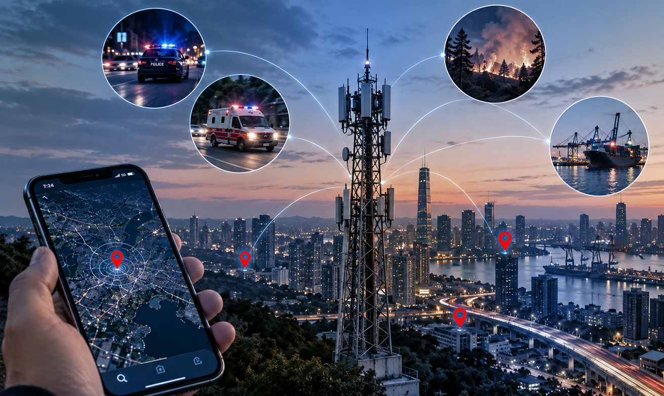
Retrieve caller location information across GSM, CDMA, GPRS, 3G, 4G/LTE, 5G, VoIP, and broadband environments. iLocator combines network-based and device-assisted location sources to provide precise location intelligence, including when a distressed caller is unable to communicate their location verbally.

- Hosted GMLC & Network Integration
Provide location services through PertSol's Hosted GMLC capability for operators that lack native Location-Based Services infrastructure. Seamlessly integrate with telecom networks, signaling environments, and service providers to ensure reliable location availability across diverse network environments.

- CAD, GIS & PSAP Interoperability
Integrate with PSAPs, CAD systems, GIS platforms, CTI systems, emergency control rooms, and public safety applications from different technology vendors. A vendor-agnostic integration approach allows location intelligence to fit into existing emergency response workflows.
- AML/ELS Enhanced Location Intelligence
Support Google Emergency Location Service (ELS) and Apple Advanced Mobile Location (AML), including AML-HELO, with market-tested interoperability aligned with global NG911 requirements to provide enhanced smartphone location during emergency situations.

- Continuous Tracking & Responder Visibility
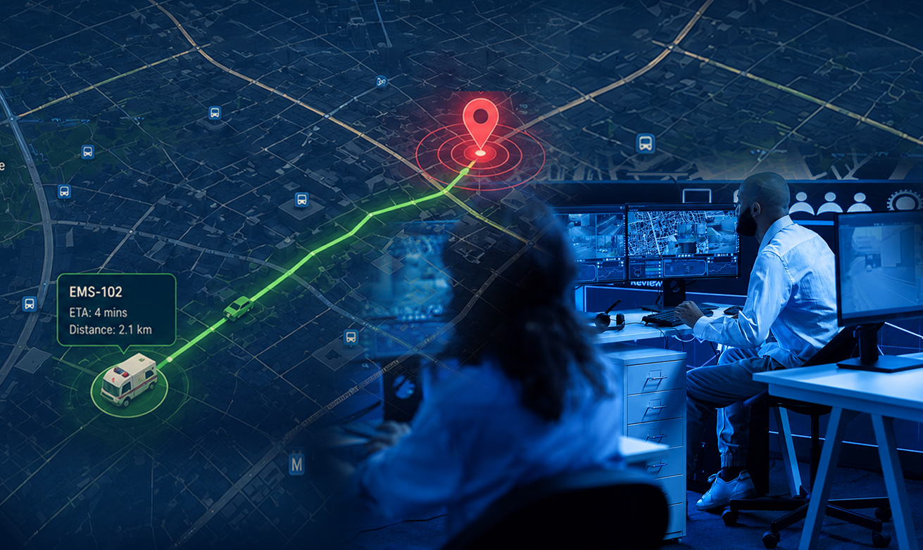
Maintain real-time visibility of distressed callers, field responders, and connected devices throughout the incident lifecycle. Continuous monitoring enhances coordination, situational awareness, and decision-making during evolving emergency situations.

- NI-LR & MO-LR Location Procedures
Support Network-Initiated Location Request (NI-LR) and Mobile-Originated Location Request (MO-LR) procedures for different emergency and location-service scenarios across compatible telecom network environments.
- MNP Integration & Precise Operator Routing
Integrate with Mobile Number Portability (MNP) databases to identify the serving operator and accurately route location requests. The platform supports integration with MNP databases from different providers for flexible multi-operator deployments.

- Geo-Fencing, Hoax Detection & Analytics
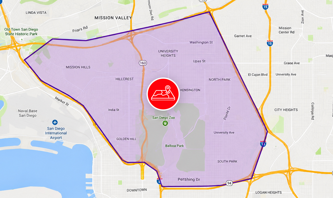
Enable geo-fence monitoring, automated hoax call detection, operational trend analysis, and performance analytics to improve resource utilization, optimize emergency response workflows, and strengthen situational awareness.
/ How It Works /
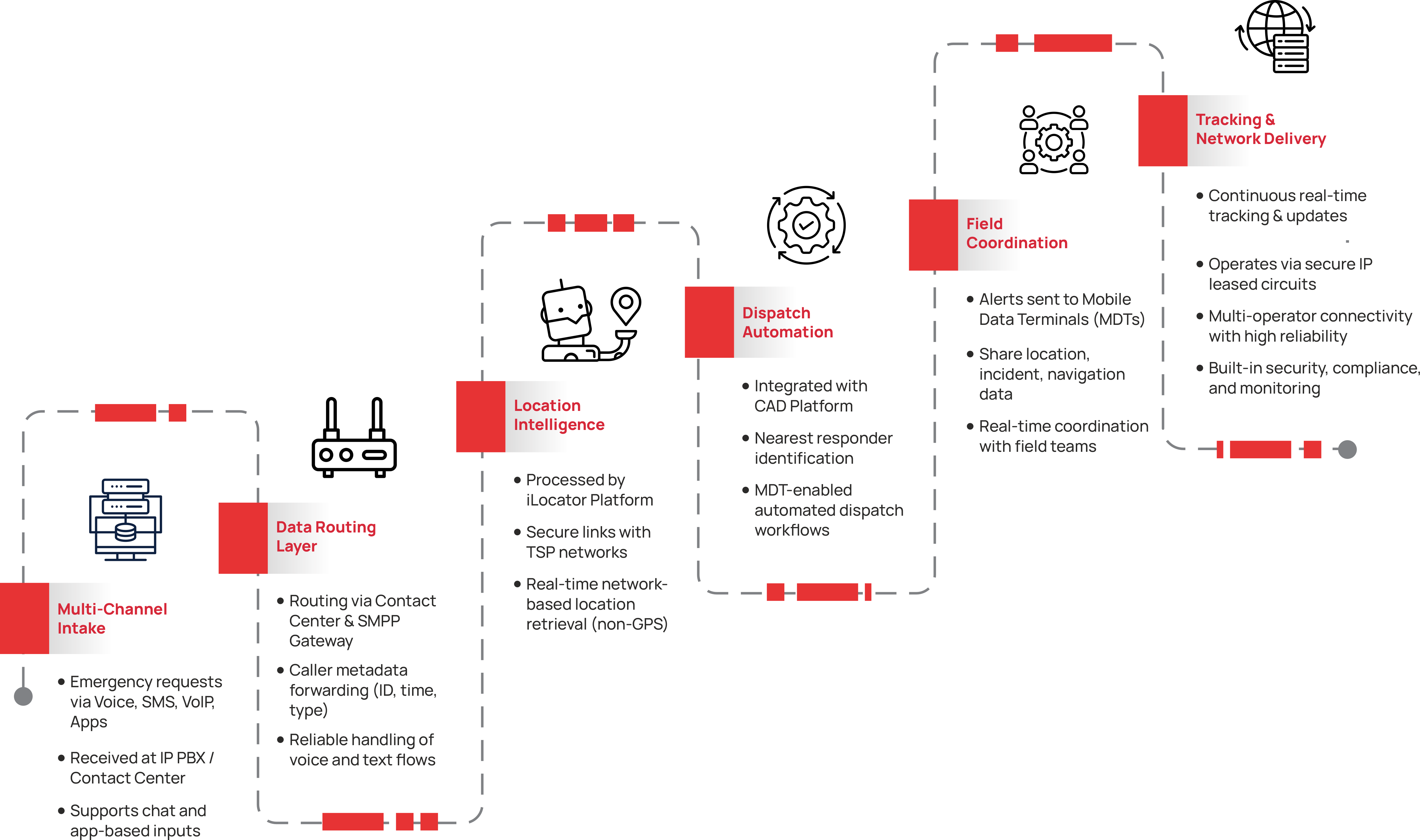
How the Solution Works

/ What Sets Us Apart /
The PertSol Advantage
Proven Nationwide Emergency Deployments
Successfully deployed across multiple large-scale 100/112 emergency response programs, supporting high-volume public safety operations and mission-critical environments that require reliable, real-time location intelligence and operational continuity.
/ Certifications /
Certifications That Reinforce Trust














/ Related Solutions /
Explore More Solutions



Ready to Improve Emergency Response Outcomes?
Connect with our export to explore how PertSol iLocator helps emergency service providers improve caller location accuracy, reduce dispatch delays, strengthen situational awareness, and accelerate response times through real-time location intelligence.